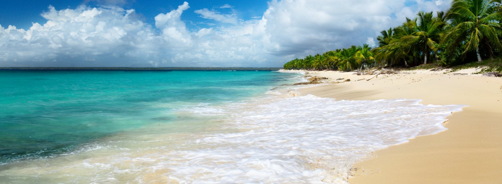
The Dominican Republic is situated on the island of Hispaniola, which it shares with the country of Haiti. Additionally, the Dominican Republic owns several surrounding islands, making a map a valuable tool, especially if you intend to explore the island independently.
Having a map of the Dominican Republic can be extremely helpful while on the road. The country features a network of roads connecting cities, resorts, and even leading to landscape parks and reserves.
It's a good practice to always carry a detailed map of the Dominican Republic. This could be a pocket atlas or an extensive paper map. Alternatively, many travelers prefer to download a map of the country from the web. Regardless of the format, having access to a map is a crucial detail that should not be overlooked.