Updated: October 2026
Contents
- How Kyiv Is Laid Out
- Where to Stay in Kyiv
- Areas to Avoid
- Where to Find a Detailed Map of Kyiv
- Interactive Map of Kyiv
- FAQ
How Kyiv Is Laid Out
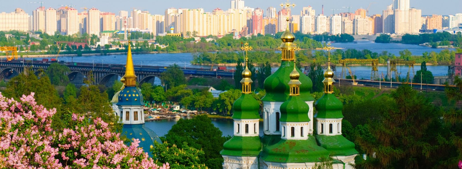
The Dnipro River divides Kyiv into two parts. The hilly right bank holds the historic center and almost all the main sights, while the flat left bank is mostly residential. The two banks are connected by bridges and the red metro line. Keep in mind that the bridges over the Dnipro are periodically hit by Russian strikes: after attacks, traffic on them — and sometimes metro service between the banks — is temporarily restricted, so crossing the river can take much longer.
The city is divided into 10 administrative districts: seven on the right bank and three on the left. For a visitor, district borders matter less than the distance to the center and the nearest metro station — use these to choose where to stay.
| District | Bank | What's there for visitors |
|---|---|---|
| Shevchenkivskyi | right | Historic center: Khreshchatyk, Maidan Nezalezhnosti, the Golden Gate |
| Pecherskyi | right | Kyiv Pechersk Lavra and parks on the Dnipro slopes |
| Podilskyi | right | Old Podil, Andriivskyi Descent, Kontraktova Square |
| Solomianskyi | right | Kyiv Central Railway Station |
| Holosiivskyi | right | Holosiivskyi Forest, the National Expocenter, the open-air museum in Pyrohiv |
| Obolonskyi | right | Dnipro embankment and quiet residential areas in the north |
| Sviatoshynskyi | right | Residential district in the west of the city |
| Dniprovskyi | left | Hydropark and the islands on the Dnipro |
| Darnytskyi | left | New housing estates, budget accommodation |
| Desnianskyi | left | Residential areas in the northeast, including Troieshchyna |

Where to Stay in Kyiv
Stay on the right bank: it is home to the historic center, almost all the sights, the business districts and the railway station, and you can walk most routes.
City Center: Khreshchatyk and Old Kyiv
The most convenient option for a first visit. Maidan Nezalezhnosti, the Golden Gate and Sofiiska Square are within walking distance, and the Khreshchatyk, Maidan Nezalezhnosti and Zoloti Vorota metro stations are nearby. The only downside: accommodation here is the most expensive in the city.
Podil
The old merchant quarter by the Dnipro, with low-rise buildings, cobblestone streets and plenty of bars and restaurants — a good choice if you like evening walks. Podil is linked to the upper town by Andriivskyi Descent and the funicular from Poshtova Square to Mykhailivska Square. The nearest metro stations are Kontraktova Ploshcha and Poshtova Ploshcha.
Pechersk
A green, calmer district around the Kyiv Pechersk Lavra and the parks above the Dnipro. It suits those who want to stay in the center but away from busy Khreshchatyk. Pechersk is home to Arsenalna station — one of the deepest metro stations in the world, about 105 meters underground.
Areas to Avoid
Kyiv has no districts that are dangerous for tourists, but some are inconvenient. Most importantly, don't stay on the left bank just to save money. Accommodation there is cheaper, but both business and sightseeing destinations are on the right bank, and the bridges over the Dnipro are periodically hit by strikes and temporarily closed to traffic. On such days, the trip to the center turns into hours-long traffic jams.
The least convenient option is Troieshchyna in Desnianskyi District: a large residential area with no metro, where even on a normal day the trip to the center at rush hour can take over an hour. Outskirts and industrial areas far from the metro on the right bank aren't worth the savings on a short visit either.
When choosing accommodation, check where the nearest shelter is: 46 underground metro stations serve as shelters during air raid alerts. Read more about safety in our article “Safety in Kyiv”.
Where to Find a Detailed Map of Kyiv
- Google Maps. The most convenient option for visitors: streets, house numbers, public transport routes and marked sights. Download an offline map of Kyiv in advance — it will come in handy if mobile service or power goes out.
- Visicom. A Ukrainian mapping service with a detailed map of Kyiv's streets, buildings and districts — useful when you need an exact address or district borders.
- Kyiv Digital. The city's official app: real-time public transport tracking, air raid alerts and a map of the nearest shelters. Learn how to use public transport in our article “Public Transport in Kyiv”.
- Metro map. The official Kyiv Metro website publishes an up-to-date map of all three lines and 52 stations, and the same map is posted at every station.
- Tourist information center. The central city tourist information center is at 36 Khreshchatyk St. (entrance at the corner near TSUM department store). Staff will help you find your way and tell you about events and tours; you can ask for a paper map of the center there or at your hotel's reception.
Interactive Map of Kyiv
You can zoom in and move the map below to explore a specific district and its streets.
FAQ
Which district of Kyiv is best for tourists to stay in?
The city center is the most convenient — near Khreshchatyk, in Old Kyiv or in Podil, with the main sights within walking distance. If you're on a budget, look for a small hotel or apartment on the right bank a bit farther from Khreshchatyk but close to a metro station, rather than staying on the left bank: the bridges over the Dnipro are periodically hit by strikes, and crossing the river can take a long time.
How many districts does Kyiv have?
Kyiv has 10 administrative districts: Holosiivskyi, Darnytskyi, Desnianskyi, Dniprovskyi, Obolonskyi, Pecherskyi, Podilskyi, Sviatoshynskyi, Solomianskyi and Shevchenkivskyi.
Which areas of Kyiv should tourists avoid?
Kyiv has no districts that are dangerous for tourists, but the left bank is inconvenient: the bridges over the Dnipro are periodically hit by strikes, and traffic between the banks is temporarily closed. Troieshchyna is especially inconvenient, as it has no metro.
Where can I get a free tourist map of Kyiv?
The easiest way is to download a free offline map in Google Maps. Once in Kyiv, you can ask for advice at the tourist information center at 36 Khreshchatyk St. or at your hotel's reception.
Is there a map of Kyiv with sights?
Yes, Google Maps marks the main sights, and you can plan a walking or public transport route to them. To decide what to see first, read our article “Kyiv Sights”.


